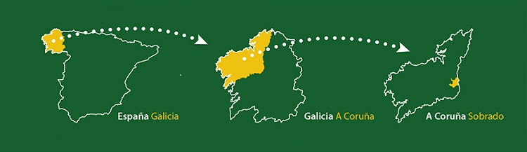
The municipality of Sobrado is located in the province of A Coruña and belongs to the Diocese of Santiago. It is bordered by the municipatility of Curtis to the north, Guitiriz and Friol - province of Lugo - to the west, Toques anda Melide to the south, Boimorto and Vilasantar to the east.
It belongs to the Comarca de Terra de Melide (a traditional region administrative division) and to Betanzos jurisdiction. The ten parishes of the municipality are distributed along 126 square kilometres. Sobrado is set in a mountainous area in the Galician Ridge. There stands the Monte Campelo, 811 metres, the highest peak in the province of A Coruña.
The region has a humid oceanic climate, with an average annual temperature of 8.4ºC. In July the maximu temperature reaches 22ºC and in December the minimun can drop to 2.3ºC. The annual precipitation in the region is over 120 mm.
The river network is characterised by small courses with low flows, typical in middle mountain. The main rivers of the west part of Galicia are born here: the Mandeo, which flows down into Betanzos estuary, and the Tambre, which flows down to the central estuaries of A Coruña into the estuary of Noia. We are, therefore, located in one of the major places of river diversion in Galicia.